Park at a Glance
Acadia National Park protects parts of Maine's coast across Mount Desert Island, the mainland's Schoodic Peninsula, Isle au Haut, and smaller islands, bringing mountains and forest together beside the Atlantic.
What This Park Preserves
The park protects rocky shorelines, freshwater lakes, forests, wetlands, and granite mountains. Historic carriage roads, stone bridges, and gate lodges preserve a designed landscape that follows the land's contours.
Becoming a National Park
Local residents and summer visitors, including George B. Dorr and Charles W. Eliot, secured land for protection. President Wilson established Sieur de Monts National Monument on July 8, 1916. Congress redesignated it Lafayette National Park on February 26, 1919, then renamed it Acadia National Park on January 19, 1929. The 1929 law also authorized expansion beyond Mount Desert Island, allowing donated lands at Schoodic to join the park.
Story of the Land
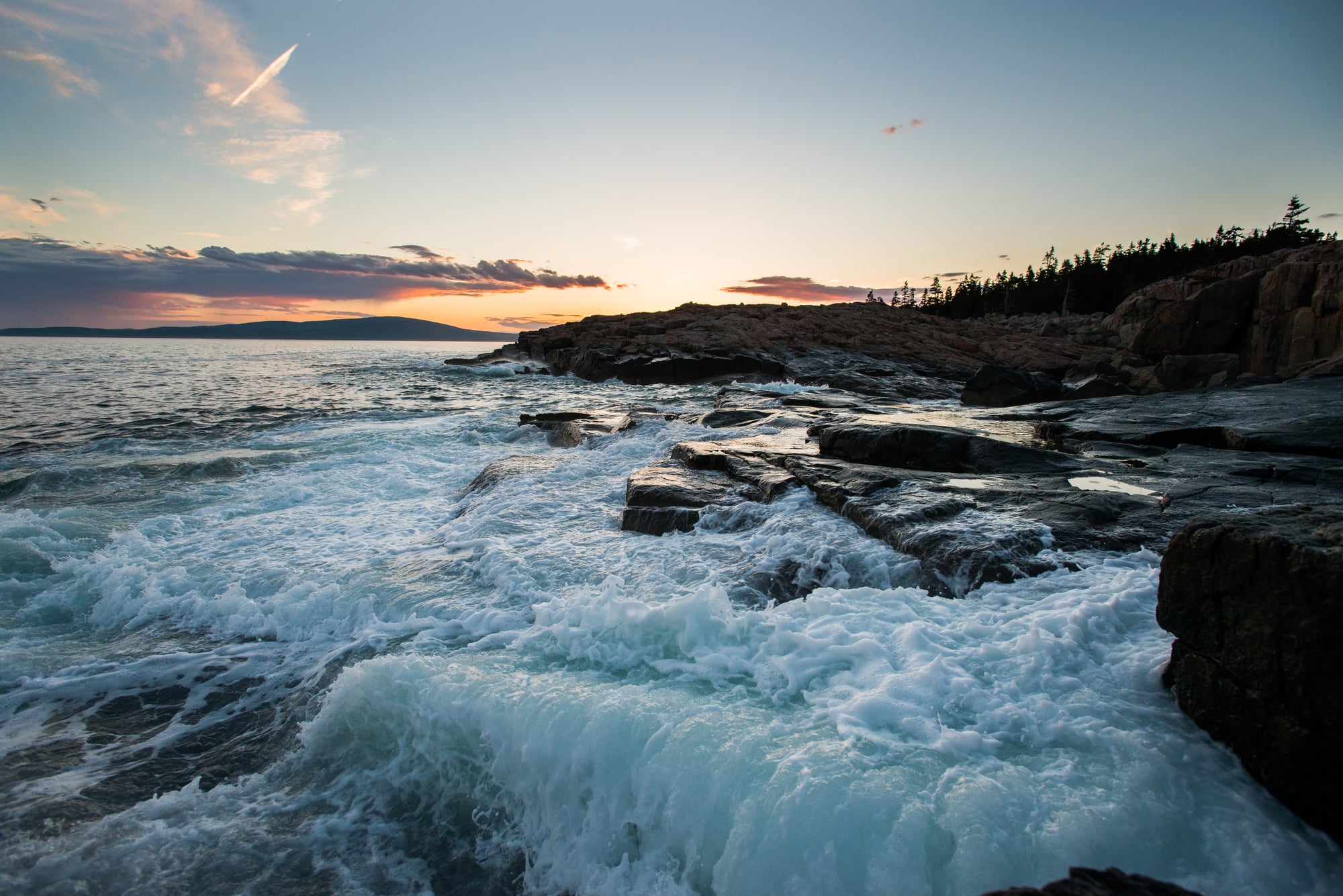
Glaciers rounded mountains and widened valleys into U-shapes, leaving the contours visible around Jordan Pond. Ice also carried and deposited large boulders called erratics; waves continue reshaping the shoreline and smoothing its cobbles.
People & Culture
Acadia lies in Wabanaki homelands. Penobscot, Passamaquoddy, Mi’kmaq, and Maliseet communities retain ties to these shores. Wabanaki basketmakers and scientists have studied coastal sweetgrass together, connecting living traditions with salt-marsh ecology.
Wildlife & Nature
Acadia sits where northern evergreen forests meet southern deciduous forests. Spruce and fir mingle with maples and birches, while beavers change freshwater habitats by damming streams and creating wetlands that support other wildlife.
What to Look For
From Jordan Pond's shore paths, trace the rounded Bubbles and neighboring U-shaped valleys for signs of glacial carving. Along carriage roads, notice granite guard stones and stone-faced bridges that fit the routes into hillsides and stream crossings.
Explore Acadia on foot.
Three routes from Journey’s trail catalog. Distances and elevation gains are approximate; check each route’s NPS information before you set out.
When will you go?
Spring
Fog and spring thaw can limit access.
Summer
Broad access, with heavy summer crowds.
Fall
Colorful foliage, with cool and variable weather.
Winter
Icy trails and widespread road closures limit access.
These are general seasonal patterns. Check the official park website for current road access, closures, and visitor requirements.
Four things to remember.
Bring home a memory.
Make room in your passport for Acadia. Find the park’s stamp guide, then keep your stamp photos and visit memories together in Journey.
Acadia passport stamp guide