Plan your visit.
View-packed climb above Callville Bay.
Seasonal notes
Year-round (best fall–spring)
Trail notes
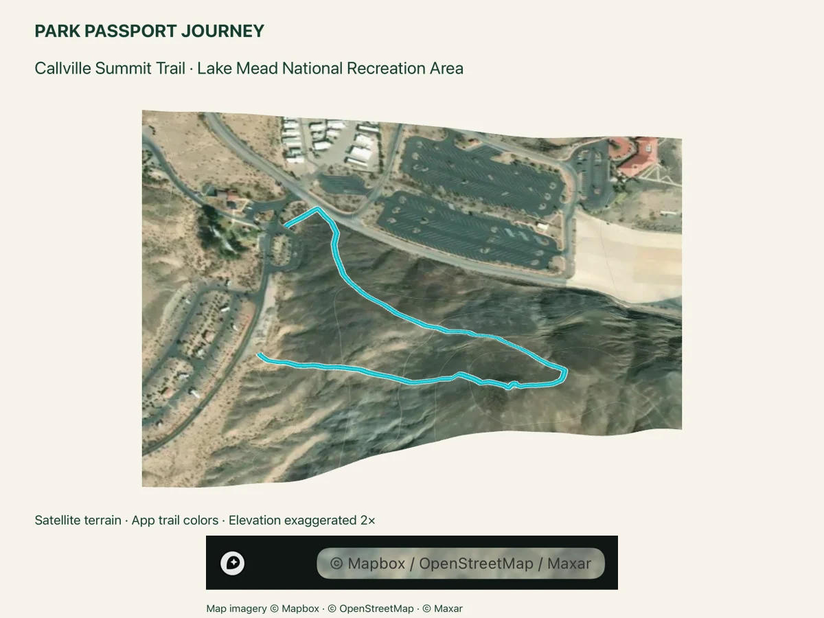
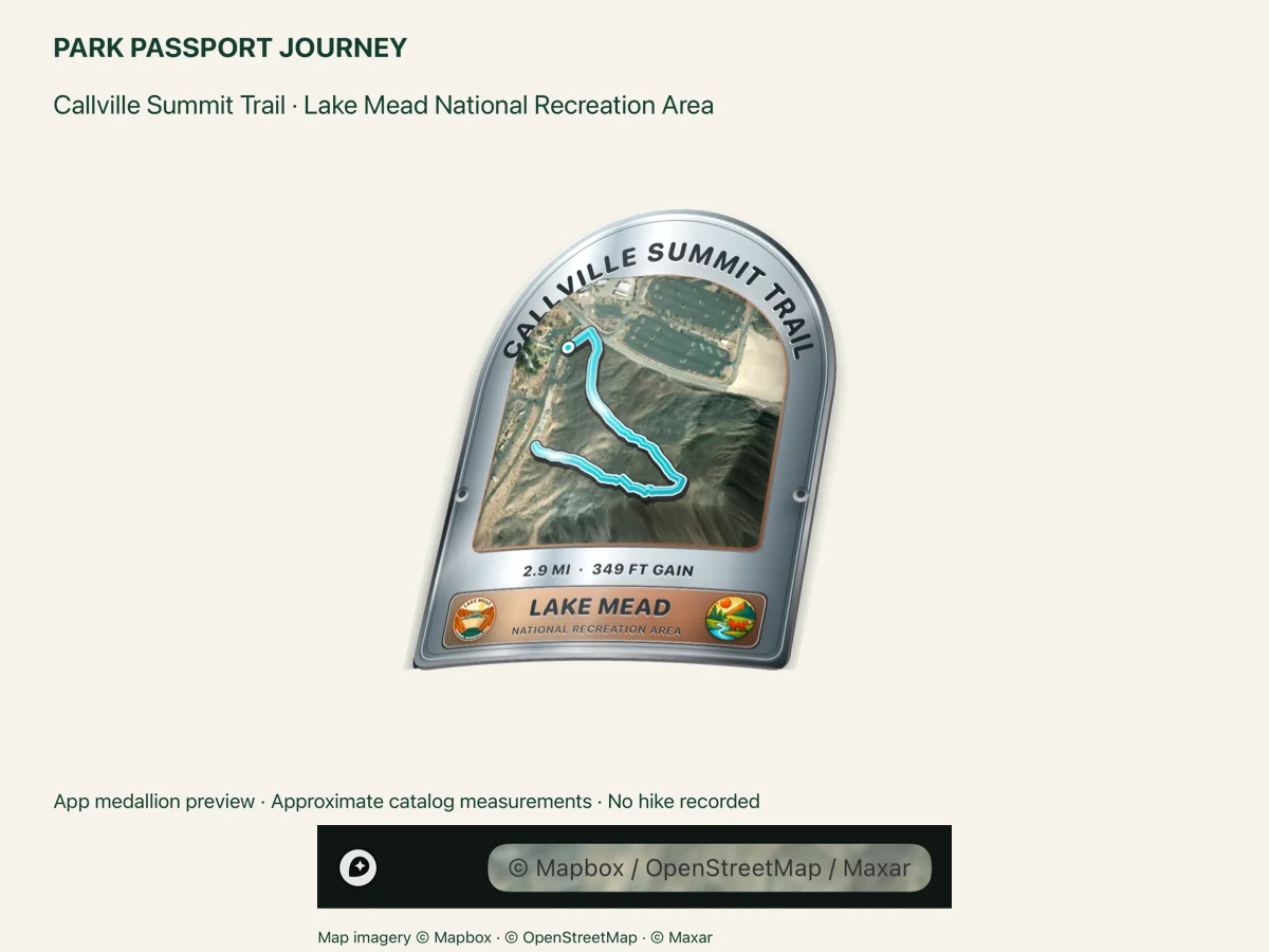
Unmaintained, unsigned and exposed. The mapped NPS ridge line is about 1 mile round trip, shorter than NPS's published 2.9-mile outing; do not rely on this line as the complete itinerary. Other social trails descend toward the water. Nearby pit toilets; drinking water is at Callville Bay Resort.
Pet policy notes
Pets are permitted on this trail on a leash no longer than 6 feet. Clean up pet waste.
Trailhead notes
Campground-side Callville Summit access at the start of the NPS mapped ridge line. NPS describes its primary approach from the dump-station lot across the road; that short approach is not included in this GPS line.
Parking and facilities: NPS directs hikers to the dump-station lot across from Callville Bay Campground; this marker is on the mapped campground-side trail access.
Before you set out.
Trail tags and planning notes come from the app catalog. Check official park information for current access, closures, permits, pet rules, and accessibility details. A catalog listing does not confirm that a trail is open today.
Confirm the route and turnaround you intend to follow before you start. Carry the maps and supplies appropriate for your trip. The route illustration is a visual overview, not a navigation map.