
Plan your visit.
All-day rim walk linking Horseshoe Bend and Dam Overlook.
Seasonal notes
Year-round (best fall–spring)
Trail notes
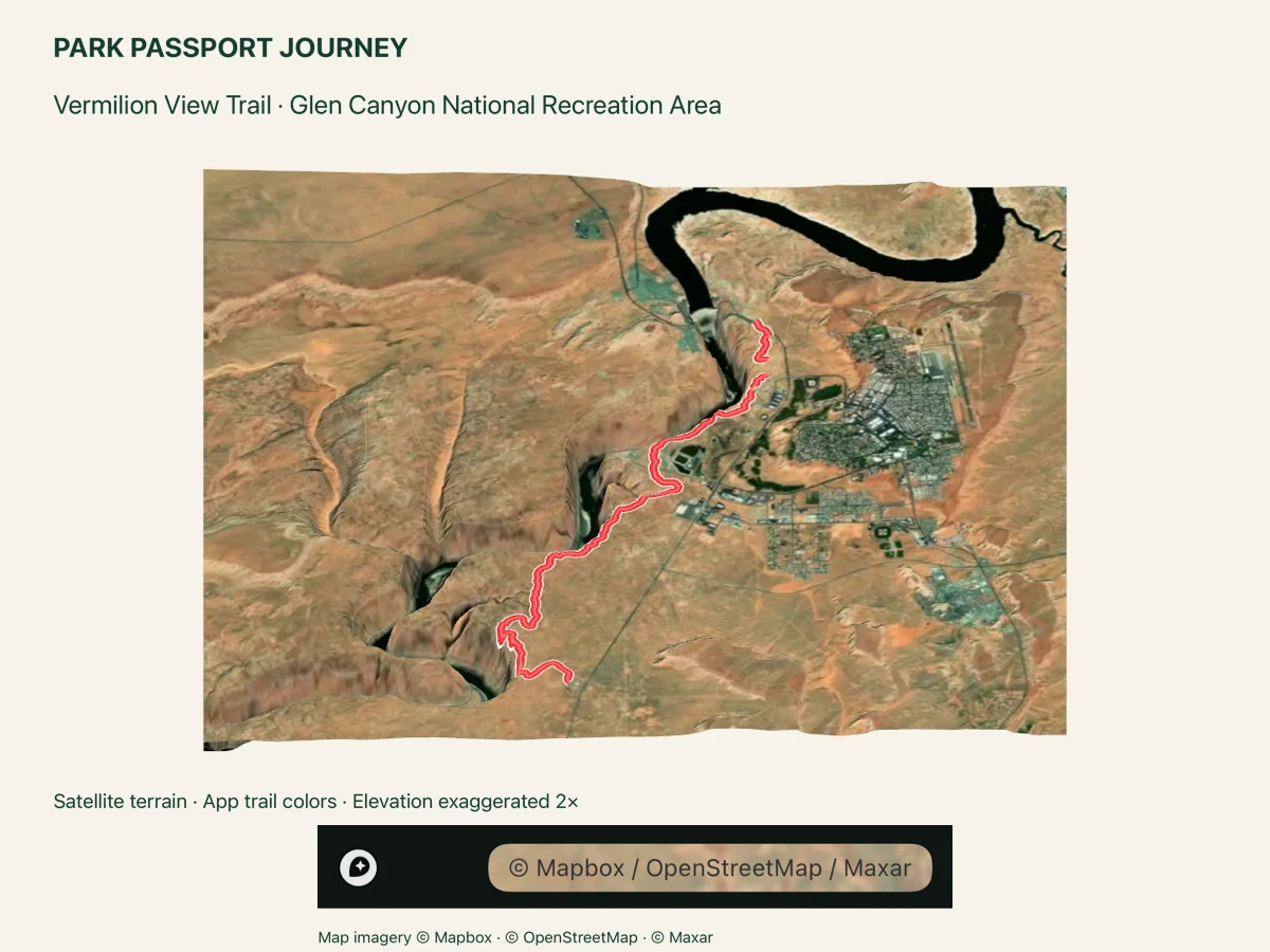
Little shade; carry ample water and sun protection. NPS describes an approximate 14-mile round trip from Glen Canyon Bridge to Horseshoe Bend, with Dam Overlook access. Its 700-foot figure is height above the river, not elevation gain. The bridge-to-Dam Overlook slickrock section is not fully mapped; do not rely on this GPS line for a continuous through-hike.
Pet policy notes
Pets must remain on a leash no longer than 6 feet.
Trailhead notes
Glen Canyon Bridge trailhead east of the bridge, off US-89.
Additional access point 2
South edge of Dam Overlook parking, at the mapped Vermilion View path start.
Additional access point 3
Horseshoe Bend parking area access on the signed path.
Before you set out.
Trail tags and planning notes come from the app catalog. Check official park information for current access, closures, permits, pet rules, and accessibility details. A catalog listing does not confirm that a trail is open today.
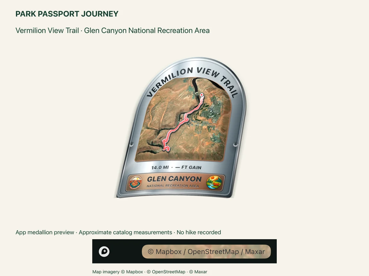
Confirm the route and turnaround you intend to follow before you start. Carry the maps and supplies appropriate for your trip. The route illustration is a visual overview, not a navigation map.