
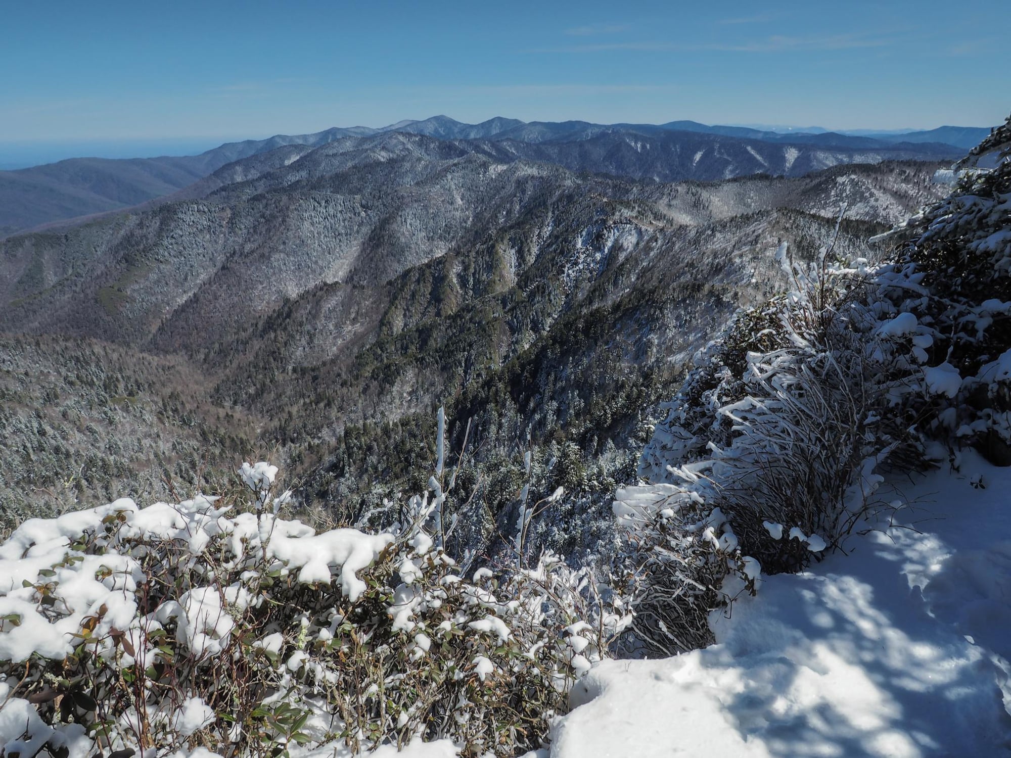
A path into Great Smoky Mountains.
Out-and-back · Moderate
Approximate Journey route measurements; NPS descriptions may use a different route or distance. Walking times depend on pace, stops, weather, and trail conditions.
Creekside forest walk with log bridges and CCC-era relics to a backcountry shelter.
Read the official NPS route informationThe land around this park.
Ancient sediments became rock, then continental collisions folded and fractured the layers and transformed some through heat and pressure. Erosion lowered the mountains; streams carved valleys and waterfalls where resistant rock outlasted softer layers.
Explore the Great Smoky Mountains park guideBefore you set out.
Use the official NPS information to confirm the route you intend to walk, current closures, weather, and any access or permit requirements. A listing here does not confirm that a trail is open today.
Distances refer to the route type shown above. For a point-to-point route, plan how you will return; a trail network may offer several possible walks.
Carry the maps and supplies appropriate for your trip. Follow posted signs and park guidance; this overview is not turn-by-turn navigation.