
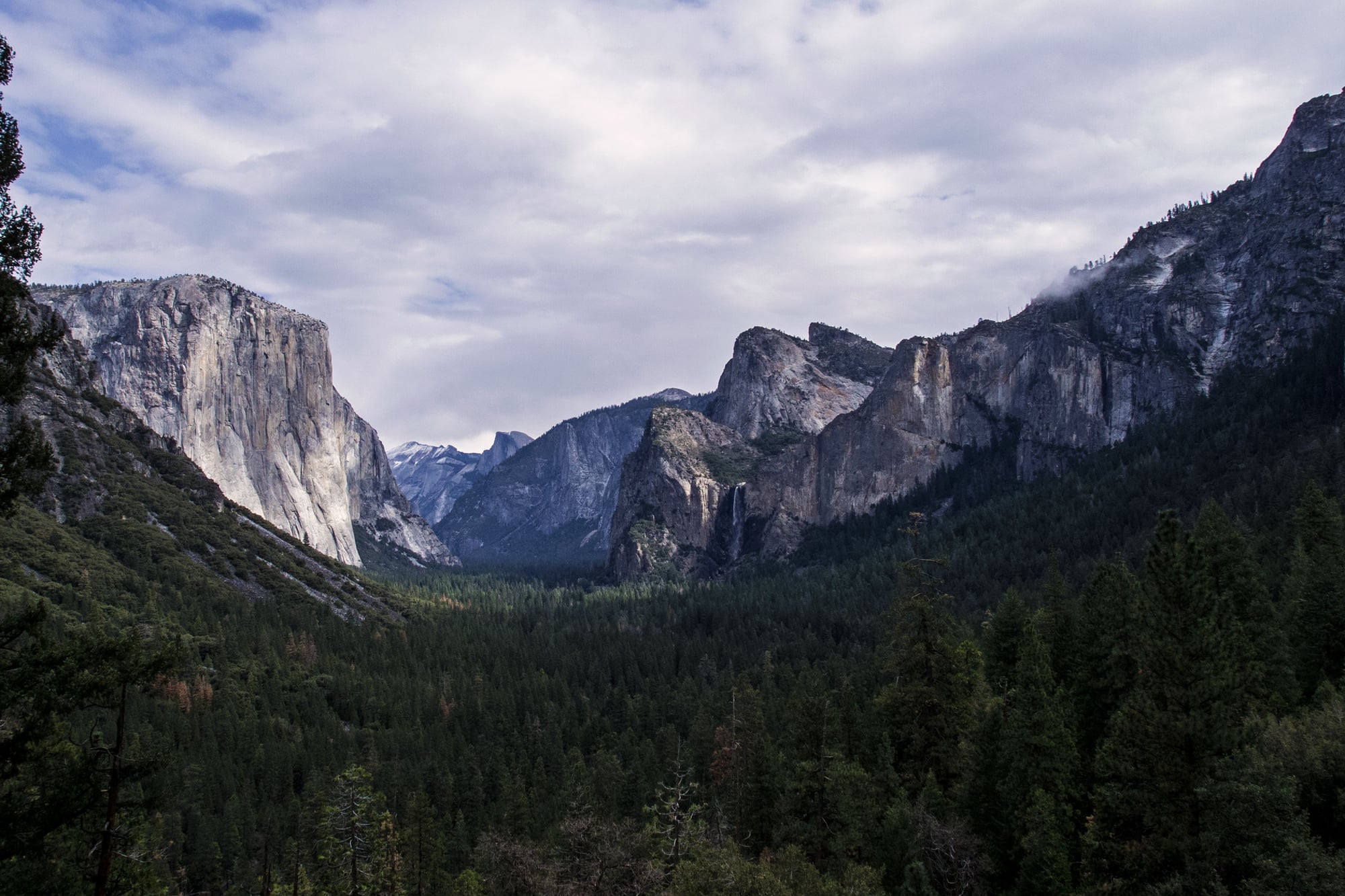
A path into Yosemite.
Loop · Moderate
Approximate Journey route measurements; NPS descriptions may use a different route or distance. Walking times depend on pace, stops, weather, and trail conditions.
Valley-floor path to a seasonal lake/meadow framed by Half Dome and North Dome; extend around the loop along Tenaya Creek.
Read the official NPS route informationThe land around this park.
Granite cooled deep underground before uplift and erosion exposed it. Glaciers widened river-cut valleys into broad, steep-sided troughs, leaving tributary streams to spill from hanging valleys as waterfalls.
Explore the Yosemite park guideBefore you set out.
Use the official NPS information to confirm the route you intend to walk, current closures, weather, and any access or permit requirements. A listing here does not confirm that a trail is open today.
Distances refer to the route type shown above. For a point-to-point route, plan how you will return; a trail network may offer several possible walks.
Carry the maps and supplies appropriate for your trip. Follow posted signs and park guidance; this overview is not turn-by-turn navigation.